


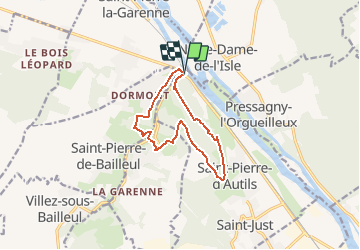

10,5 km | 13,8 km-effort


Usuario


Aplicación GPS de excursión GRATIS
 SityTrail
IGN / Institutos geográficos
SityTrail World
El mundo es suyo
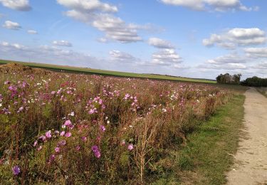
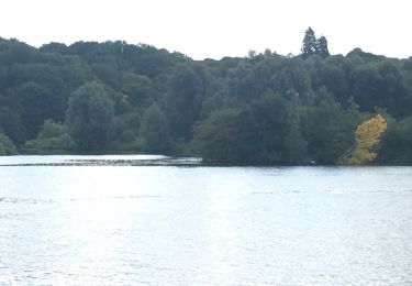
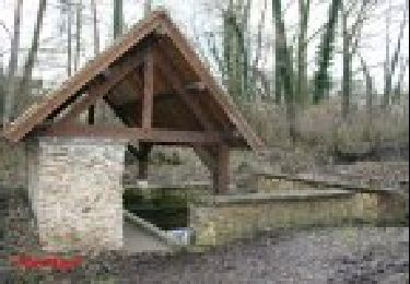
Ruta Senderismo de 10,1 km a descubrir en Normandía, Eure, La Chapelle-Longueville. Esta ruta ha sido propuesta por randovivi.
Départ du Goulet (Saint Pierre la Garenne 27600) (N15) entre Gaillon et Vernon sur le Parking en face du restaurant routier et la D63 Route de Rouen le Goulet

Senderismo
Senderismo
Senderismo

Senderismo
Senderismo
Senderismo
Otra actividad
Senderismo
Senderismo